
From the Pod Kotlovou saddle to the Karlovské lake
Hiking route • yellow • easy (mostly downhill)On foot
A short descent from the ridge to the Karlovice side. From the Pod Kotlovou saddle the yellow waymarks drop through the head of the Jezerné valley to a lake wrapped in legend - it gave its name to the javořina, a high enclosed pasture, on which the lost settlement of Jezerné stood. From here the way carries on to Velké Karlovice.
- Pod Kotlovoustart • 820 m a.s.l.
yellow waymarks • descent
From the signpost follow the yellow waymarks downhill into the head of the Jezerné valley and on to the lake. From there the yellow waymarks carry on down the valley to Velké Karlovice.
detour • red waymarks • +0,6 km one way • 870 m a.s.l.
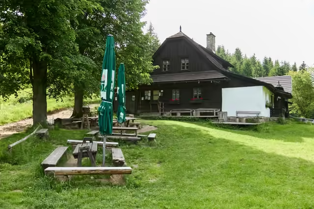 Kotlová (a short detour)Two last cottages of the lost mountain settlement of Jezerné stand in the saddle - in season refreshments are served from a serving hatch in one of them. From there the red waymarks climb through the wood to the wooded summit of Kotlová (870 m), which has no view; you return the same way.
 - The Karlovské lake1,5 km from the start