
Rožnov pod Radhoštěm–Dolní Paseky
Hiking route • green → red • moderateOn foot
The Rožnov pod Radhoštěm–Dolní Paseky section is 3.5 km long and takes about 1 hr 15 min.
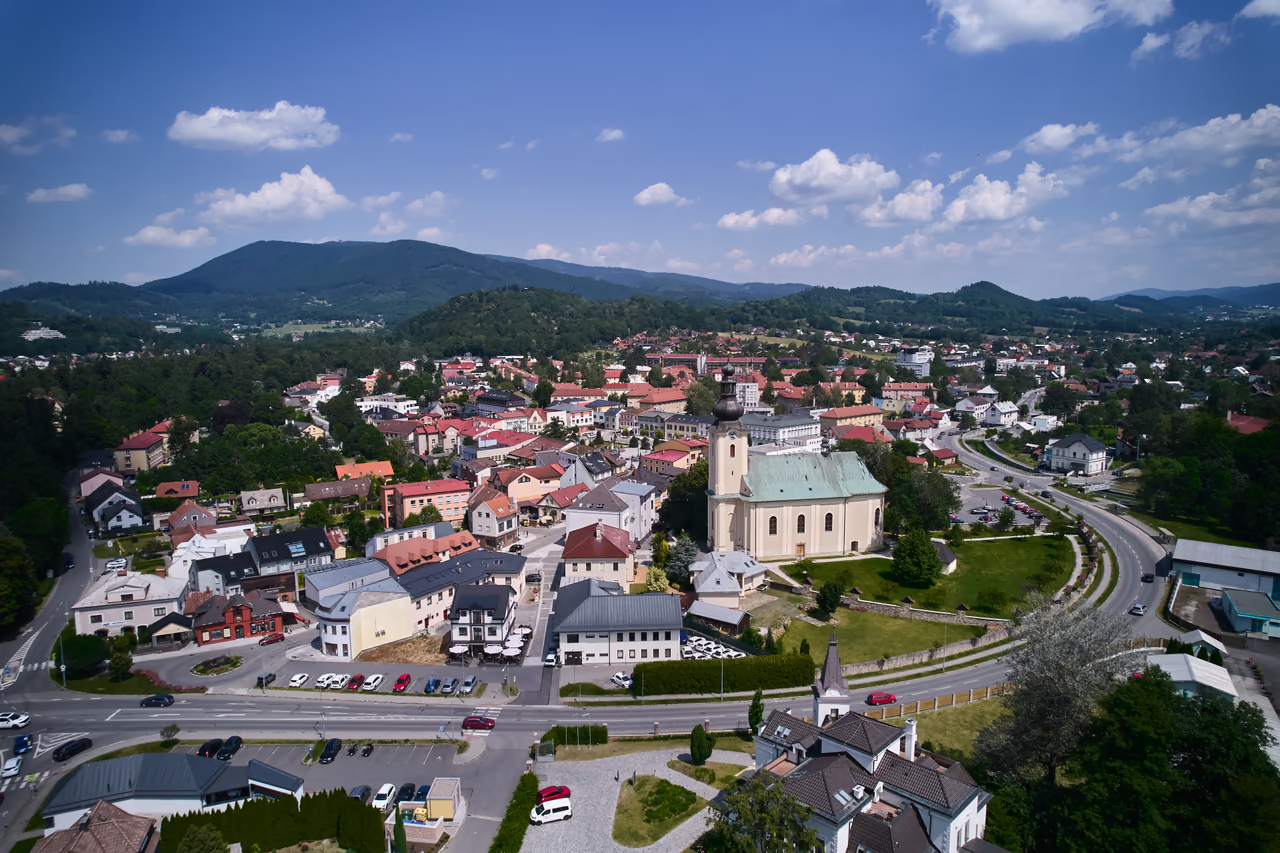 Rožnov pod Radhoštěmstart • 378 m a.s.l.Rožnov pod Radhoštěm is a transport hub - scheduled bus and train services meet here. There are supermarkets, cafés and restaurants as well. The information centre on Masaryk Square provides visitor information and travel tips.
green waymarks • 3.2 km
From the bridge carry on along the green waymarks (the blue ones run alongside) following the signposts to Dolní Paseky.
variant • blue waymarks • roughly half the distance
A shorter option from PindulaIf you would rather not walk the whole route from town, join the blue waymarks at the bus stop Trojanovice, Na Pinduli - you can get there by car or by bus.- Dolní Paseky3,5 km from the start • 412 m a.s.l.