
Čertův mlýn–Kněhyně
Ridge route • red • moderateOn foot
The Čertův mlýn–Kněhyně section is 0.5 km long and takes about 15 min.
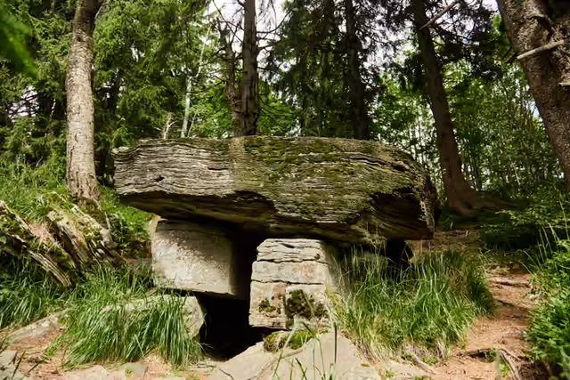 Čertův mlýnstart • 1 206 m a.s.l.The highest mountain in the Zlín Region (1,206 m) is slowly opening up through deep-seated creep: the summit tears into fissures, and below it lies a hundred-metre rock channel with Čertův stůl at its end - a stone slab on two plinths. No marked trail leads to the table, and the national nature reserve may be crossed only on waymarked routes.
red waymarks • the saddle between the summits
Follow the red waymarks down towards Kněhyně into the saddle between the two summits, to Kněhyňská louka by the junction Kněhyně - sedlo (1,146 m). On the way you pass the memorials of autumn 1944 and the U Partyzánky spring. Do not go up to the summit of Kněhyně - it forms the core of the reserve and is closed.
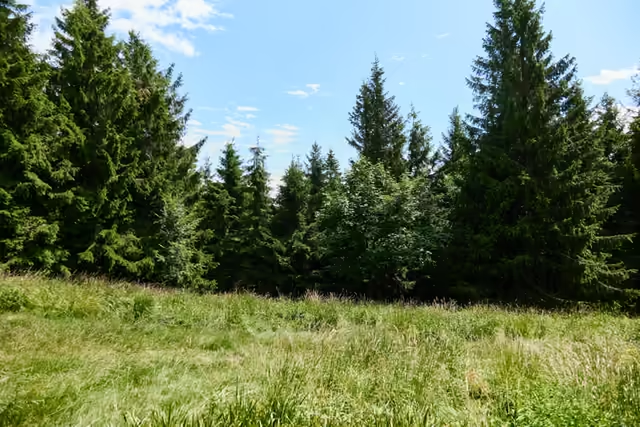 Kněhyně0,5 km from the start • 1 146 m a.s.l.Kněhyně (1,257 m) is the third highest mountain in the Beskids and the higher of the two summits of the Kněhyně – Čertův mlýn national nature reserve. The summit itself forms the core of the reserve: conservationists closed the trail to it in 2007 and entry is banned.