
Mořské oko–Čertův mlýn
Ridge route • red • moderateOn foot
The Mořské oko–Čertův mlýn section is 3.5 km long and takes about 1 hr 15 min.
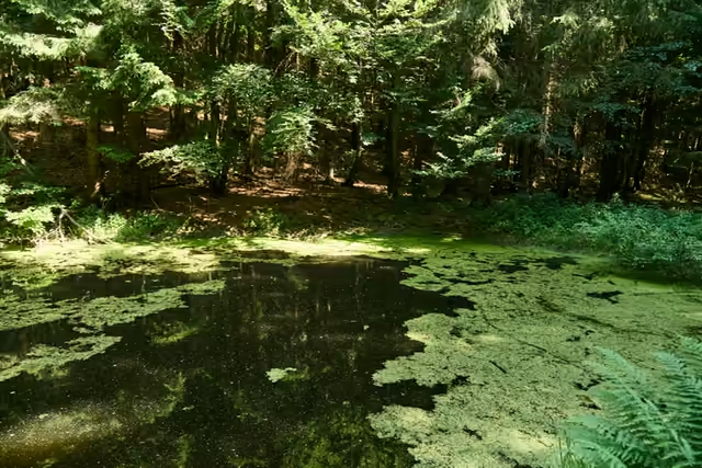 Mořské okostart • 980 m a.s.l.The lake was dug out of a wetland in 1894 by walkers from Pohorská jednota Radhošť, because the Beskids were the only mountains without a lake of their own. It is now a protected pool where three species of newt breed.
red waymarks • the summit area
Carry on along the red waymarks through the saddle below Tanečnice into the summit area of Čertův mlýn. From here you are inside a national nature reserve - do not leave the waymarked paths. Čertův stůl lies away from them; you can look at it in a 360° photo.
variant • red waymarks along the hillside • 7 km
A detour on the nature trail to MartiňákFrom Mořské oko you can leave the ridge and follow the Čertův mlýn nature trail along the hillside to the Martiňák chalet. There is no direct service back to Pustevny from there.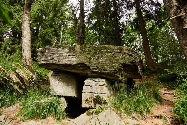 Čertův mlýn3,5 km from the start • 1 206 m a.s.l.The highest mountain in the Zlín Region (1,206 m) is slowly opening up through deep-seated creep: the summit tears into fissures, and below it lies a hundred-metre rock channel with Čertův stůl at its end - a stone slab on two plinths. No marked trail leads to the table, and the national nature reserve may be crossed only on waymarked routes.