What few people know
You are walking where the river ran
In Rožnov the Rožnovská Bečva used to be up to five times wider. River regulation confined it into a narrow channel, and where it used to flow now stand the town park and the Videčská school.
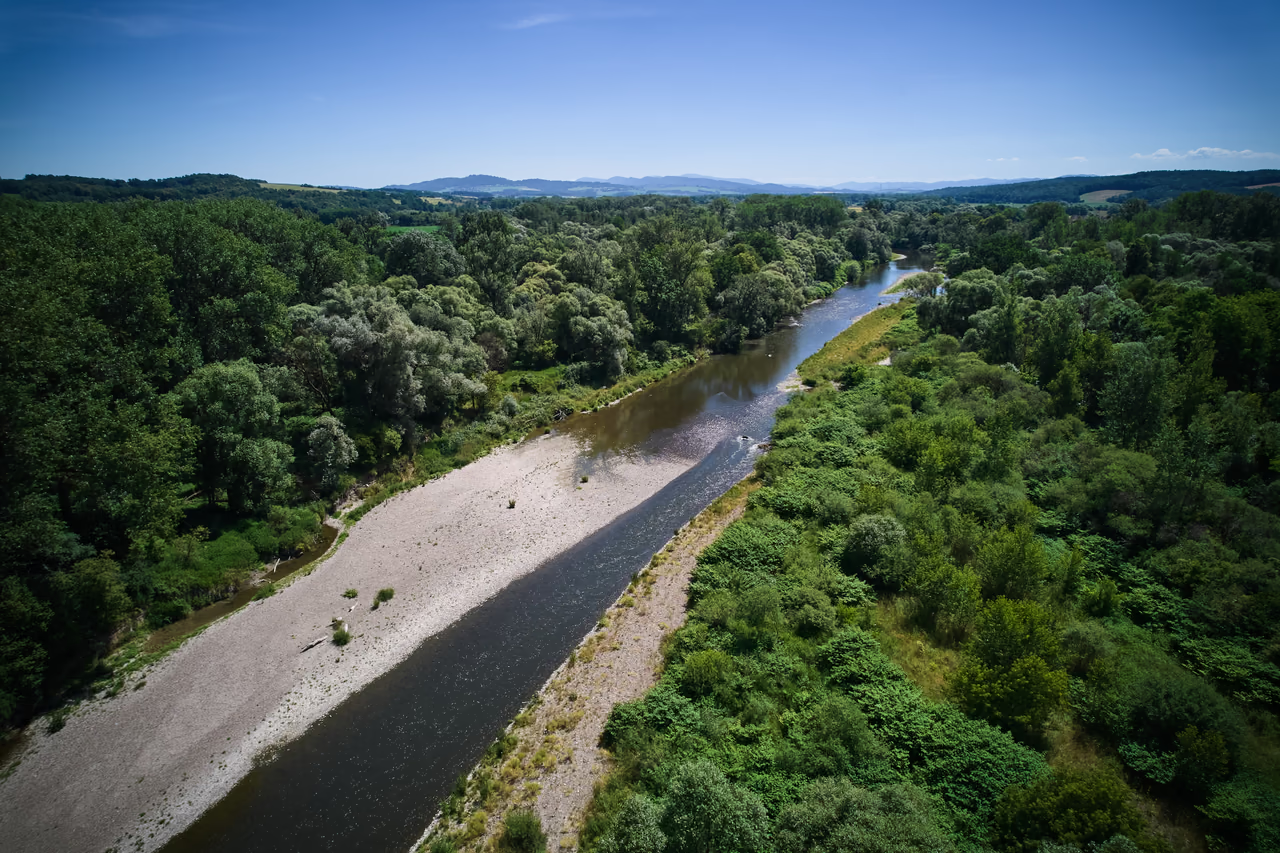
Gravel channel • the Rožnov area
It once braided across a wide gravel channel. A park and a school now stand where it used to flow.
The Rožnovská Bečva used to spread across a wide gravel belt and looked for a new way through at every big flood. To stop the braided river taking banks and fields, at the turn of the 20th century it was straightened and confined into a narrow, reinforced channel.
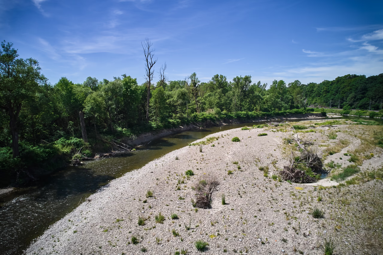
The river has kept its old character on the bars below the town – they still form, vanish and move today.
What few people know
In Rožnov the Rožnovská Bečva used to be up to five times wider. River regulation confined it into a narrow channel, and where it used to flow now stand the town park and the Videčská school.
What “braided” means
A shallow gravel channel with no fixed banks. Every big flood forced a different way through – which is why such rivers were called braided.
What not to miss
A cycle path runs along the river; it will take you to the gravel deposits where the Rožnovská Bečva has kept its original braided character.

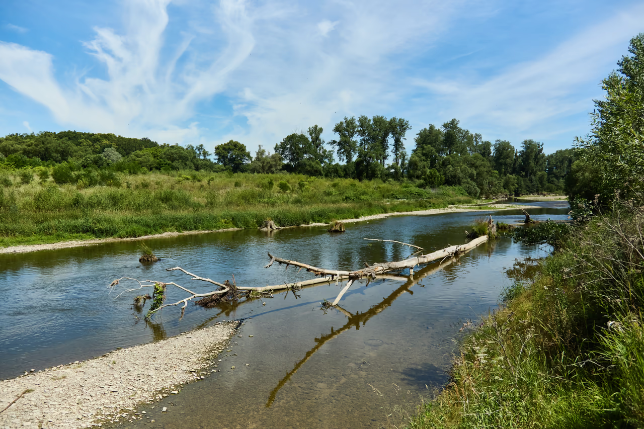
Before people confined the rivers of Wallachia, they had shallow, wide gravel channels through which the water forced a different way at every flood.
A braided river
Across the wide gravel belt the water split into several arms flowing around gravel bars and islets. The channel had no fixed banks – and so it rearranged itself with every high water: the gravel brought from upstream was laid down again a little further on.
It was that changeability that was called “braided”. It meant a winding, branching channel with islands, passing in places into wholly wild running water. Fine to look at, but unpredictable: a flood could take a bank, a road or a field. The river decided for itself where it would run.
That character is carried by the name Bečva itself. It is derived from the Old Czech words bek and beč (a cry, a bleating) – “the noisy river”. And it still fits: the ratio between the highest and the lowest flow on the Bečva is given as up to 1,000 : 1. One day a trickle, after rain a fierce current – and in 1997 a flood that marked the whole Bečva valley.
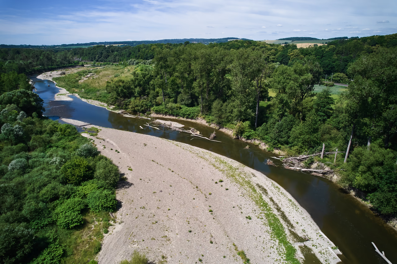
Confined into a channel
To stop the river doing damage, engineers straightened, narrowed and reinforced it by regulation. The regulation of the Rožnovská Bečva ran from the 1890s, and in the town itself around 1910.
Part of the gravel deposits had been turning into a park since 1820, with the growth of the Rožnov spa – that theme is told by the page for the town park. That park, like the school in Videčská street, stands where the river used to run.
Later came the dam at Horní Bečva; the river was thus drawn for good into today's narrow channel.
In Rožnov up to 5× wider than today
Where to see it today
The braided river shows itself best where it has room enough.
Downstream
Further downstream, between Rožnov and Zubří, the river has a wider channel and striking gravel bars – this is where it shows its braided character best.
In the park
You are by the river in the town park too – and standing in the place of its former channel. The park is probably the easiest place to call the whole story to mind.
Beskids passport
Are you here in person?
This page has already been added to your Beskids passport as a digital visit. To collect a badge for visiting in person, use the button below while you are there. The whole stretch of river around the places in the list counts - just stand by the Bečva.
Your browser asks for your location once when you click. Verification happens offline on your device and your location is not sent anywhere.
The river as a helper
The braided river took banks and fields – but its gravel could also serve. The stretches along the river were called Kamence, and along their edges stood wooden huts for bleaching linen. The gravel flats themselves served as a drying ground: the linen was soaked, spread out in the sun and watered so that it bleached.
In fine weather the gravel could in many places be almost covered with long strips of linen. The river gave both water and space for the work – the deposits were a workbench.
The water of the Rožnovská Bečva served as power. As early as the first half of the 19th century, reports of the time record twenty-two weirs on it, which raised the level, with millraces carrying the water to the mills and sawmills along its course.
010 km
Horní Bečva • ~950 m a.s.l.
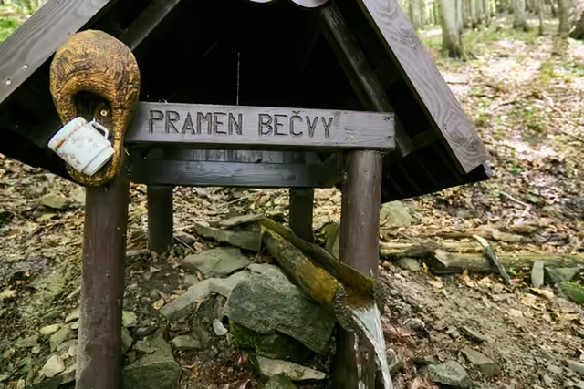
The Rožnovská Bečva begins at a spring rising in beech wood on the flank of Vysoká, the highest mountain of the Vsetínské vrchy.
Podrobně: The source of the Bečva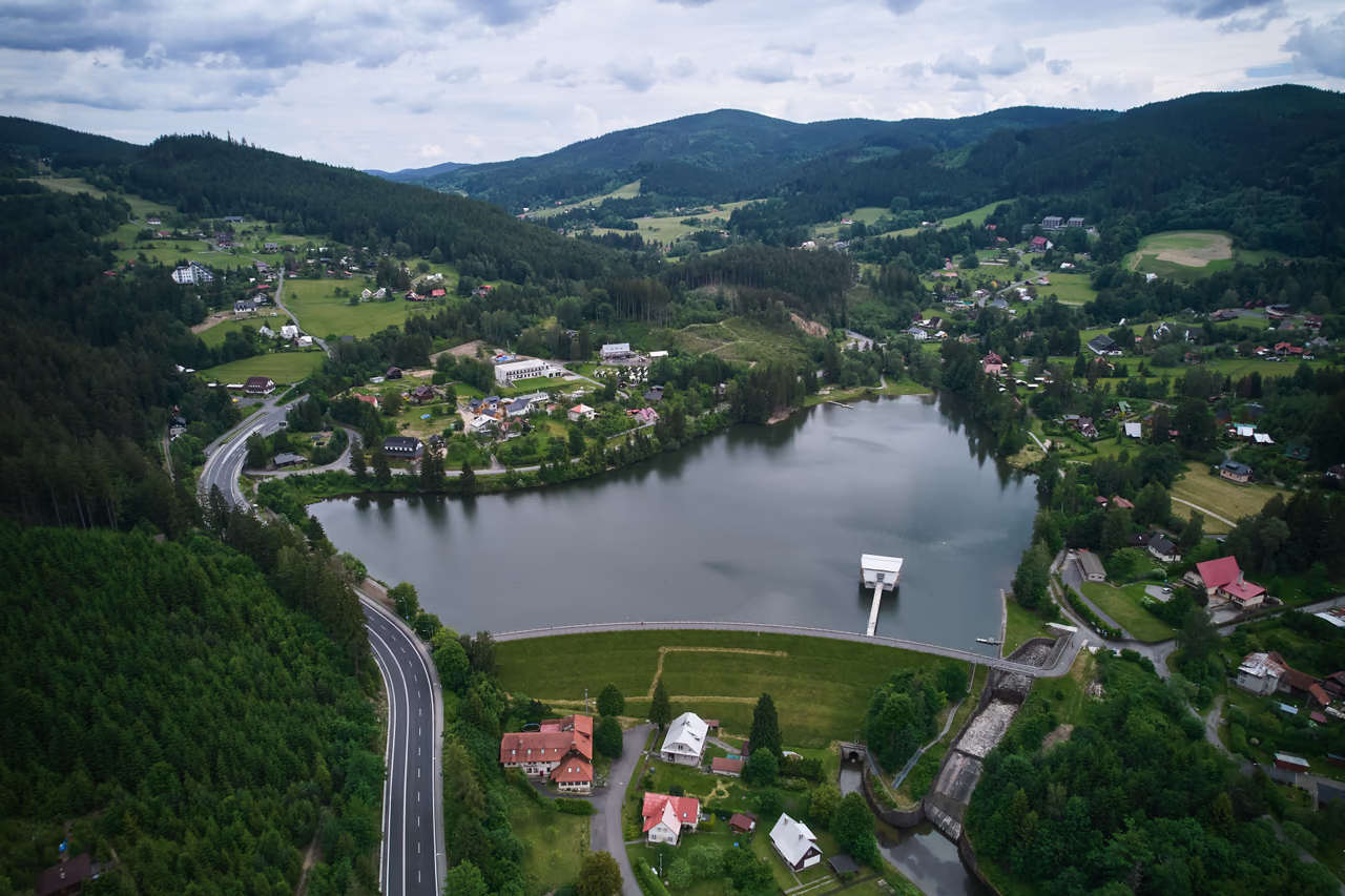
02The first few kilometres
A reservoir built 1933–1947
Still a mountain torrent, the river is stopped by a valley reservoir. It is the only dam on the whole Bečva – further down nothing holds the river back.
Podrobně: The Horní Bečva dam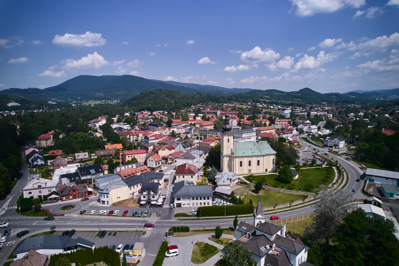
03The valley of three Bečvas
Here the river was up to 5× wider
It was in Rožnov that the braided river reached its widest gravel channel – and here that regulation confined it most.
Podrobně: Rožnov pod Radhoštěm0438 km • 285 m a.s.l.
The confluence with the Vsetínská Bečva
The confluence of the Rožnovská Bečva (38 km) and the Vsetínská (59 km) gives rise to the Bečva – hence the name of the town, which lies “between the rivers”. The longer Vsetínská counts as the main headwater – it rises a few kilometres from the Rožnovská, near Bumbálka. It reaches Meziříčí by a great arc through Velké Karlovice and Vsetín.
05The middle course
Přerov – the largest town on the Bečva
Beyond Meziříčí the river leaves the Carpathians and heads through the Moravian Gate by way of Hranice and Lipník to Přerov.
06The end of the journey
then the Danube and the Black Sea
From the confluence the Bečva runs another sixty kilometres and joins the Morava at Tovačov. From there the water goes on – down the Morava and the Danube to the Black Sea.
Tip – by bike along the river
The Cyklostezka Bečva cycle path runs along the Bečva – a continuous route following the river from the mountains to the confluence with the Morava. It takes you past the gravel deposits below Rožnov too. It mostly keeps off the main roads, so families with children and inline skaters manage it as well.
the whole path, source → Morava
the Rožnov – Val. Meziříčí section
suitable for families
The gravel bars show best at low water. After rain and in flood the river covers them.
You reach the river along the cycle path beside the Bečva. The way down to the water over gravel can be slippery, so sturdy shoes help.
There is an interpretive panel by the gravel deposit below the town – it explains how the river carries and rearranges its gravel.
The gravel bars are nesting sites for birds tied to the river. In the nesting season it is better not to walk over the bars unnecessarily.
until the 19th century
The Bečva runs across a wide gravel belt and looks for a new way through at every big flood. On the Kamence, linen is bleached and dried.
from 1820
With the growth of the Rožnov spa the gravel flats by the town turn into the town park.
The Rožnov park1893–1910
Regulation straightens and reinforces the river. The town stretch in Rožnov comes in around 1910 and the channel is up to five times narrower than before.
1933–1947
The reinforced channel was joined by the only dam on the whole river – built to protect against floods.
The Horní Bečva damtoday
Below Rožnov the river has kept its old character – it still lays down gravel in bars and deposits that form, vanish and move.
It braided – it had a winding, branching channel with gravel islands and was roughly five times wider than today's narrow, confined course.
Regulation ran from the 1890s, and the town stretch around 1910 – that is when the river was confined into today's channel.
On the gravel bars downstream towards Zubří and on the bank in the town park.
Linen was bleached beside it on the Kamence (dried on the gravel flats), and more than twenty weirs made it drive mills and sawmills.
Yes, Cyklostezka Bečva follows the whole course of the river from the mountains to the confluence with the Morava – about 153 km, of which the Rožnov – Valašské Meziříčí section is 30.8 km and mostly keeps off the main roads.
Otázka 1 z 5
 Rysík→
A few quizzes and I get glasses, and I will feel properly educated.
Your rank: Homebody. You do not have a single stamp yet. Visit any place and become a Pilgrim.
You can experience the Beskids and Moravian Wallachia with Rysík and without him. Rysík would love to be there for it. Whether you take him along and take on the challenges with him is up to you.
You can find your favourite places in your account. On the Walking routes page you can use them to filter routes.
Suggest a more accurate wording.