
The Bumbálka saddle–The Partisan
Ridge route • red (E3) • demanding (a full day on the ridge with no facilities, over 700 m of climbing)On footOn cross-country skis
The The Bumbálka saddle–The Partisan section is 2.5 km long and takes about 50 min.
- The Bumbálka saddlestart • 862 m a.s.l.
red waymarks • 612 m
From the saddle by road I/35 follow the red waymarks towards Trojačka. The path climbs beside the cleared border strip to the summit.
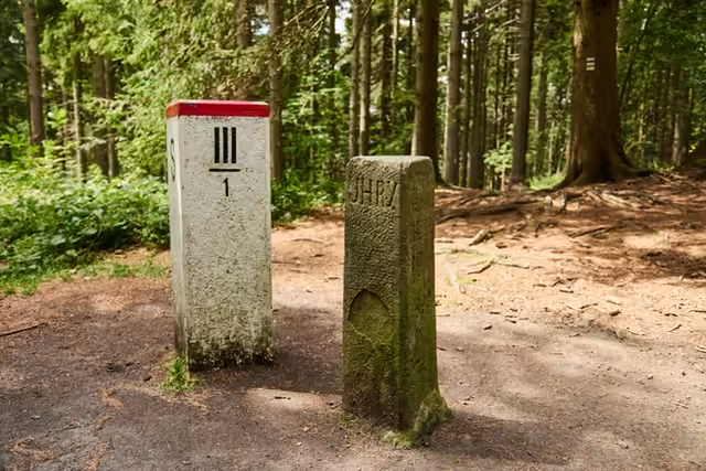 The Tripoint0,5 km from the start • 939 m a.s.l.On the summit plateau of Trojačka two boundary markers stand a few dozen centimetres apart: a sandstone boundary stone of 1906 with the names Uhry, Morava and Karlovice, and the white marker of today's Czech-Slovak border. Three regions meet here.
red waymarks • 1.8 km
Carry on along the border ridge on the red waymarks to the U tabulí junction, where the memorial to the 1st Czechoslovak Jan Žižka Partisan Brigade stands.
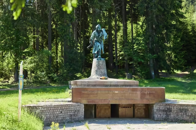 The Partisan2,5 km from the start • 705 m a.s.l.The memorial to the crossing of the 1st Czechoslovak Jan Žižka Partisan Brigade into Moravia takes the form of a 4.7 m bronze statue. It has stood in the Makov pass since 1975. Beside it stand a boundary stone and two dedications in two languages. The place is freely accessible all year.