
Javorníky ridge route: Bumbálka – Kasárne – Stratenec
Ridge route • red (E3) • demanding (a full day on the ridge with no facilities, over 700 m of climbing)On footOn cross-country skis
A day's walking along the border ridge of the Javorníky Mountains. The route runs from the Bumbálka saddle past the boundary stone at the Tripoint and a partisan memorial to the three crosses on Stratenec.
- The Bumbálka saddlestart • 862 m a.s.l.
red waymarks • 612 m
From the saddle by road I/35 follow the red waymarks towards Trojačka. The path climbs beside the cleared border strip to the summit.
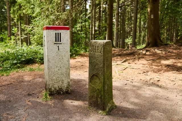 The Tripoint0,5 km from the start • 939 m a.s.l.On the summit plateau of Trojačka two boundary markers stand a few dozen centimetres apart: a sandstone boundary stone of 1906 with the names Uhry, Morava and Karlovice, and the white marker of today's Czech-Slovak border. Three regions meet here.
red waymarks • 1.8 km
Carry on along the border ridge on the red waymarks to the U tabulí junction, where the memorial to the 1st Czechoslovak Jan Žižka Partisan Brigade stands.
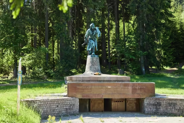 The Partisan2,5 km from the start • 705 m a.s.l.The memorial to the crossing of the 1st Czechoslovak Jan Žižka Partisan Brigade into Moravia takes the form of a 4.7 m bronze statue. It has stood in the Makov pass since 1975. Beside it stand a boundary stone and two dedications in two languages. The place is freely accessible all year.
red waymarks • 6.3 km
Keep to the cleared border strip on the red waymarks over Lemešná to Sedlo pod Lemešnou. This is the longest section without a junction and without facilities; the forest opens out only on a few ridge meadows.
- Sedlo pod Lemešnou8,5 km from the start • 800 m a.s.l.
red waymarks • 4.9 km
Carry on along the red waymarks over a ridge that opens out into meadows, to the Kasárne settlement - the only place on the route with a car park, a bus stop and somewhere refreshments can be bought. A second red route leads from here along the ridge of the Vysoké Javorníky to Greguše and Melocík.
detour • yellow waymarks • +1,5 km +1 h there and back • 950 m a.s.l.
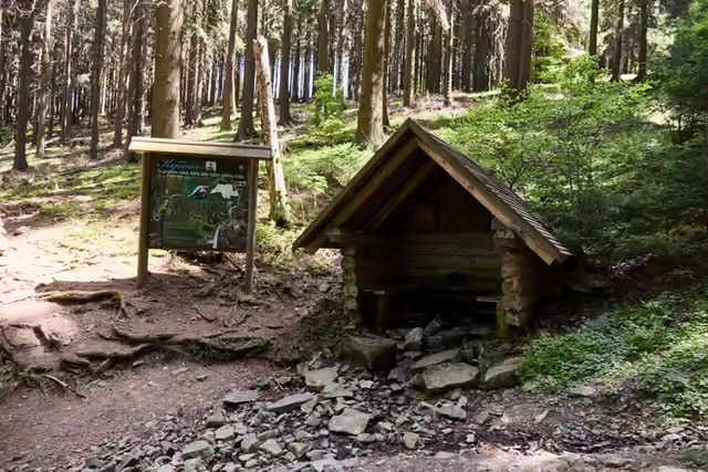 The turning to the source of the KysucaFrom the saddle the yellow waymarks drop to the Slovak side to the source of the Kysuca, with its shelter and a nature trail of 2016. You climb back to the saddle the same way.
 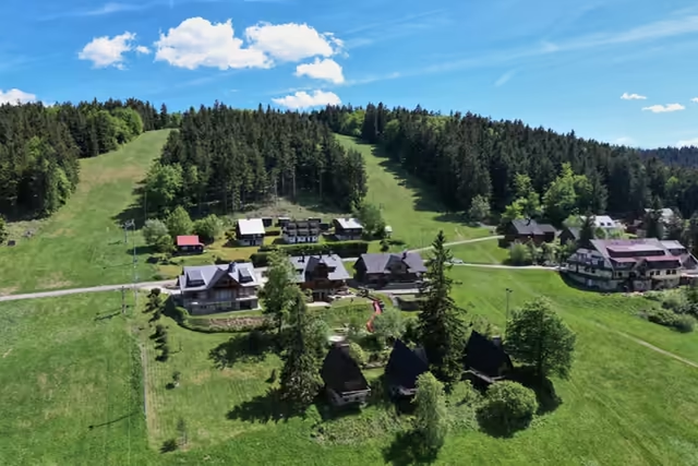 The Kasárne settlement13,5 km from the start • 950 m a.s.l.A settlement on the Javorníky ridge that Moravia and Hungary disputed for five centuries. It is named after the barracks of 1833, in which soldiers stopped people fleeing a cholera outbreak in Hungary; walks to Veľký Javorník (1,071.5 m) start here.
red waymarks • 2.8 km • the highest point of the route
From the settlement climb the red waymarks to Veľký Javorník (1,071.5 m), the highest mountain of the Javorníky, with its wooden double cross, benches and fire pit.
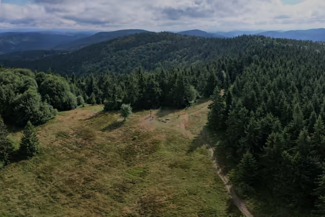 Veľký Javorník16,5 km from the start • 1 072 m a.s.l.The highest summit of the whole Javorníky range. A wooden double cross, benches and a fire pit stand on the summit clearing. The summit lies wholly in Slovakia, where the cadastres of Makov, Štiavnik and Papradno meet.
red waymarks • 1.1 km
From the summit follow the red waymarks towards Stratenec down to the Gežov saddle, where the ridge meadow carries on.
- The Gežov saddle17,5 km from the start • 1 040 m a.s.l.
red waymarks • 2.3 km
The red waymarks take you over meadows with views to the Moravian side to the summit clearing of Stratenec.
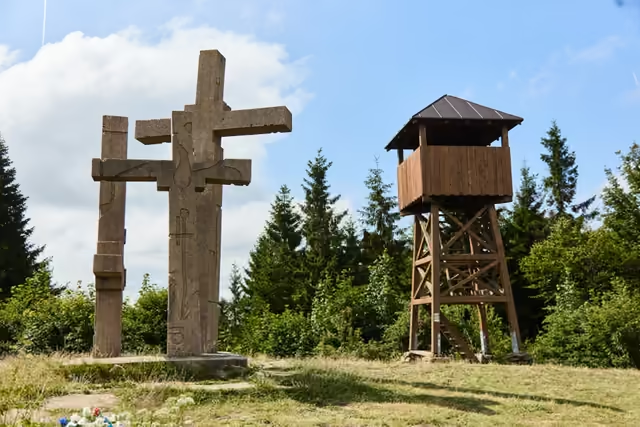 Stratenec20 km from the start • 1 055 m a.s.l.Three concrete crosses on the Javorníky ridge, one for each of the soldiers of the 1st Czechoslovak Army Corps who fell here on 3 May 1945 during the liberation of Velké Karlovice. Two of them got their names back only with a stone unveiled in 2022. A wooden lookout tower stands beside them.
variant • green waymarks via Bukovina
The descent from Stratenec to Velké KarloviceFrom the summit clearing the green waymarks lead over Bukovina down to Velké Karlovice; the other option is to go back to the Gežov saddle and drop to Podťaté. Both a bus and a train run from Karlovice.