
The Kasárne settlement–Veľký Javorník
Ridge route • red (E3) • demanding (a full day on the ridge with no facilities, over 700 m of climbing)On footOn cross-country skis
The The Kasárne settlement–Veľký Javorník section is 3 km long and takes about 55 min.
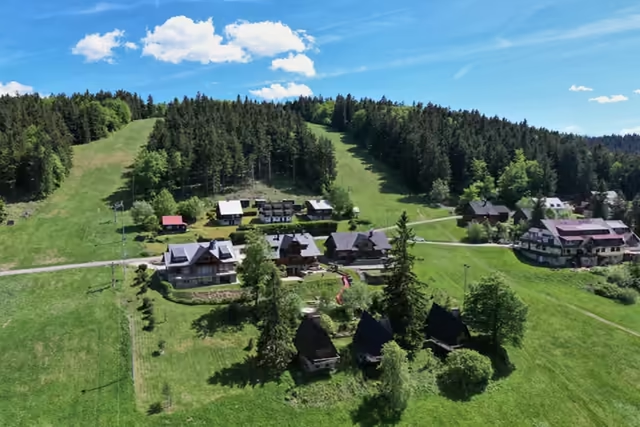 The Kasárne settlementstart • 950 m a.s.l.A settlement on the Javorníky ridge that Moravia and Hungary disputed for five centuries. It is named after the barracks of 1833, in which soldiers stopped people fleeing a cholera outbreak in Hungary; walks to Veľký Javorník (1,071.5 m) start here.
red waymarks • 2.8 km • the highest point of the route
From the settlement climb the red waymarks to Veľký Javorník (1,071.5 m), the highest mountain of the Javorníky, with its wooden double cross, benches and fire pit.
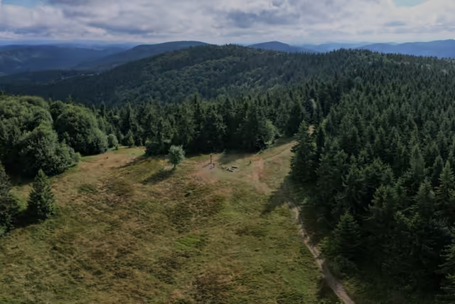 Veľký Javorník3 km from the start • 1 072 m a.s.l.The highest summit of the whole Javorníky range. A wooden double cross, benches and a fire pit stand on the summit clearing. The summit lies wholly in Slovakia, where the cadastres of Makov, Štiavnik and Papradno meet.