
Sedlo pod Lemešnou–The Kasárne settlement
Ridge route • red (E3) • demanding (a full day on the ridge with no facilities, over 700 m of climbing)On footOn cross-country skis
The Sedlo pod Lemešnou–The Kasárne settlement section is 5 km long and takes about 1 hr 40 min.
- Sedlo pod Lemešnoustart • 800 m a.s.l.
red waymarks • 4.9 km
Carry on along the red waymarks over a ridge that opens out into meadows, to the Kasárne settlement - the only place on the route with a car park, a bus stop and somewhere refreshments can be bought. A second red route leads from here along the ridge of the Vysoké Javorníky to Greguše and Melocík.
detour • yellow waymarks • +1,5 km +1 h there and back • 950 m a.s.l.
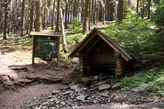 The turning to the source of the KysucaFrom the saddle the yellow waymarks drop to the Slovak side to the source of the Kysuca, with its shelter and a nature trail of 2016. You climb back to the saddle the same way.
 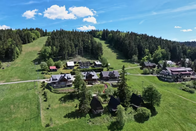 The Kasárne settlement5 km from the start • 950 m a.s.l.A settlement on the Javorníky ridge that Moravia and Hungary disputed for five centuries. It is named after the barracks of 1833, in which soldiers stopped people fleeing a cholera outbreak in Hungary; walks to Veľký Javorník (1,071.5 m) start here.