
Čarták–Benešky
Ridge route • red • moderateOn footBy bikeOn cross-country skis
The Čarták–Benešky section is 6.5 km long and takes about 2 hr 5 min.
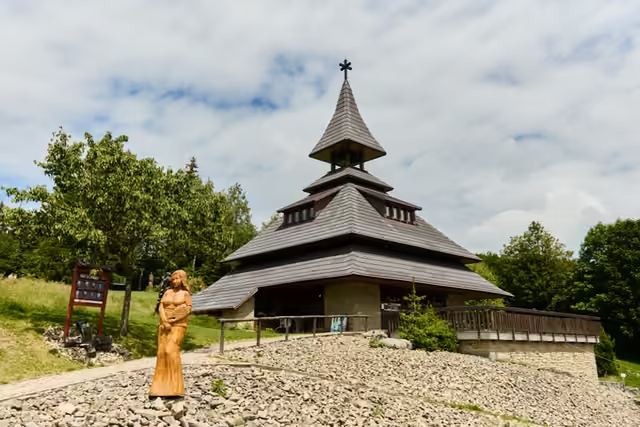 Čartákstart • 813 m a.s.l.A saddle below Soláň named after a guardhouse of the Wallachian portáši. A bell tower with an information centre and a gallery stands here, and the Galerie v přírodě nature trail with wooden sculptures along the ridge starts from it.
red waymarks • the ridge
From the bell tower with its gallery in the saddle below Soláň follow the red waymarks towards Kotlová. The ridge track alternates between wood and mountain meadow.
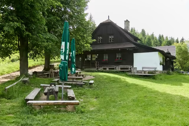 Kotlová and the settlement of Jezerné4 km from the start • 870 m a.s.l.Two cottages stand in the saddle below Kotlová (820 m) – the last remnant of the lost mountain settlement of Jezerné. Refreshments are still served from one of them in season, but it is worth checking the opening times in advance. The summit of Kotlová (870 m) is wooded and has no view.
red waymarks • 8 km from Čarták
Carry on along the red waymarks past the summit of Kotlová and through the Pálenice junction to Benešky.
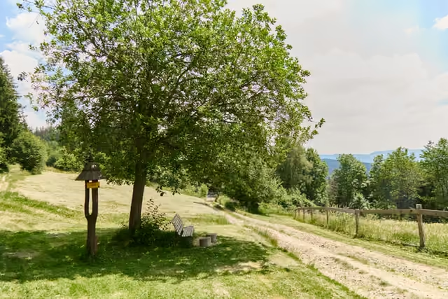 Benešky6,5 km from the start • 855 m a.s.l.At the junction on the ridge of the Vsetínské vrchy stand the signpost of the red ridge route and a wooden shelter. The meadows around were cleared by the pasekáři. After almost twenty years without upkeep they have been mown again since 2003, and nine species of orchid now flower there. They flower in May and June.