
A day in the Vsetínské vrchy
A day on the ridge of the Vsetínské vrchy on a single red waymarked route. From the bell tower on Čarták over Kotlová with the lost settlement of Jezerné to the meadows of Benešky, where nine species of orchid flower, and back the same way.
The red waymarks from Soláň to Benešky and back
≈ 6 h 20 min · 13 km
The car stays in the saddle by the bell tower and you return to it on the same waymarks – both directions are counted in the time and the distance. With a second car you can descend from Benešky to Horní Bečva on the blue waymarks instead.
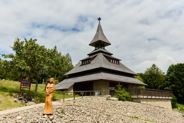
Čarták
45 minA saddle with a bell tower and an open-air gallery of wooden sculptures
Čarták–Kotlová se samotou Jezerné
1 h 15 min4 km · waymarks: red
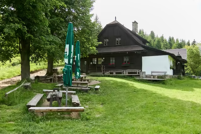
A wooded summit with Jezerné in the saddles below it • 870 m a.s.l.
Two cottages stand in the saddle below the summit – the last remnant of the settlement. One of them serves refreshments in season, though it is worth checking the opening hours in advance.
2,5 km · waymarks: red
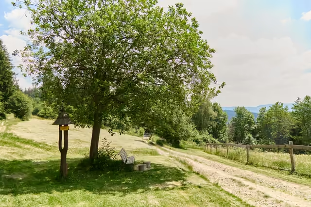
Benešky
30 minMeadows brought back to life by mowing • nine species of orchid
A snack at the shelter on Benešky
30 minOr descend to Horní Bečva
From Horní Bečva to Benešky
1 h 55 min5 km · waymarks: blue
The blue waymarks drop from Benešky down to the village. The car stays on Čarták, so this option needs a second one; the time given is for the walk uphill, downhill is quicker.