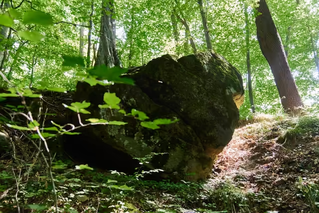
Rožnov – Hážovické Díly – Valašská Bystřice
Hiking route • red • moderateOn foot
Red waymarks from the centre of Rožnov through Kramolišov and past the hill Rysová to the Hážovické Díly junction with its inn and chapel, and on to Valašská Bystřice. At the junction you can either finish or carry on along the ridge.
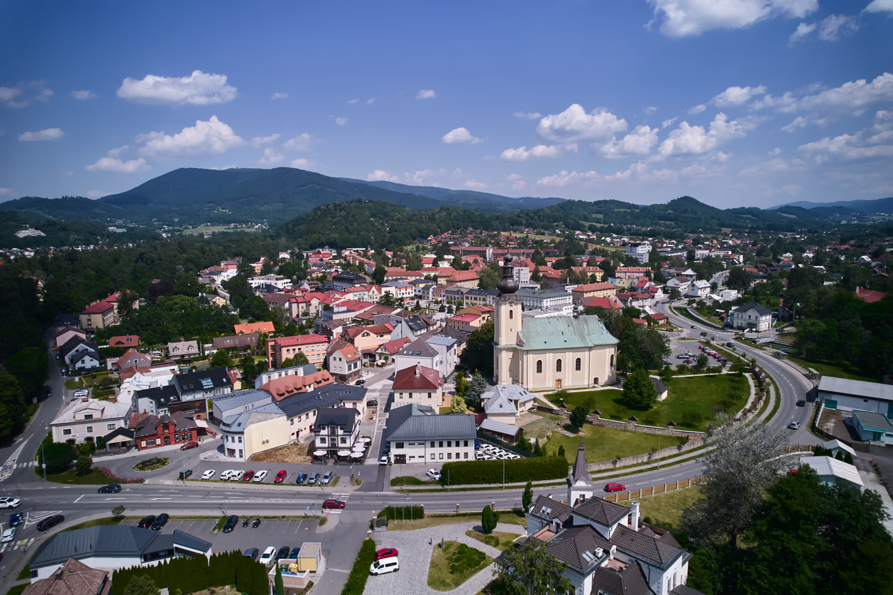 Rožnov pod Radhoštěmstart • 378 m a.s.l.Rožnov pod Radhoštěm is a transport hub - scheduled bus and train services meet here. There are supermarkets, cafés and restaurants as well. The information centre on Masaryk Square provides visitor information and travel tips.
red waymarks • 2.9 km • via Kramolišov
Rožnovský nultý kilometr starts by the bridge in Rožnov park. From there follow the red waymarks towards Hážovické Díly - across Masaryk Square and through the Kramolišov district, out of town up the Žáry valley. The meadows below Rysová are a nesting site of the corncrake; do not walk into the grass.
- Rysová - sedlo3 km from the start • 535 m a.s.l.
red waymarks • 1.8 km • junction 650 m
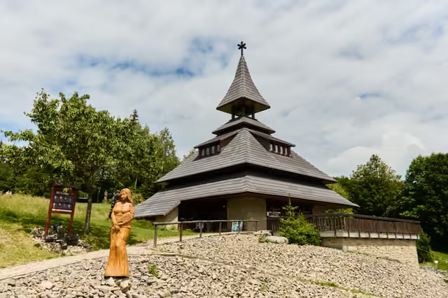
From the saddle the red waymarks take you to the Hážovické Díly junction, where an inn and a chapel stand. The blue waymarks cross here - this is the usual place to end the walk.
- Hážovické Díly5 km from the start • 650 m a.s.l.
red waymarks • 2.8 km • the descent to the village
From the junction follow the red waymarks down to Valašská Bystřice, where a bus runs back to Rožnov.
variant • blue → red waymarks, from Rožnov • 11 km
 From Díly to Vsacká Tanečnice and SoláňFrom Hážovické Díly you can take a harder way on: blue waymarks over Vsacká Tanečnice with its partisan memorial, then red ones to Soláň – Čarták, with views, refreshments and the gallery in the Soláň bell tower.
variant • blue → yellow → blue waymarks • 7 km
The circuit via ViganticeFrom Díly set off on the blue waymarks to the Díly junction, a short way on the yellow ones to Pod Díly and again on the blue ones down to Vigantice, where a bus runs back to Rožnov. - Valašská Bystřice7,5 km from the start • 458 m a.s.l.
variant • red → yellow → green waymarks • 14 km
The Búřov – Pod Ptáčnicí circuitA 14 km circuit runs from Valašská Bystřice over Búřov, with a turning to the lookout tower, and back through Pod Ptáčnicí to Valašská Bystřice.