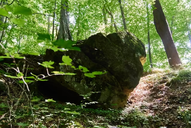
Rožnov pod Radhoštěm–Rysová - sedlo
Hiking route • red • moderateOn foot
The Rožnov pod Radhoštěm–Rysová - sedlo section is 3 km long and takes about 1 hr.
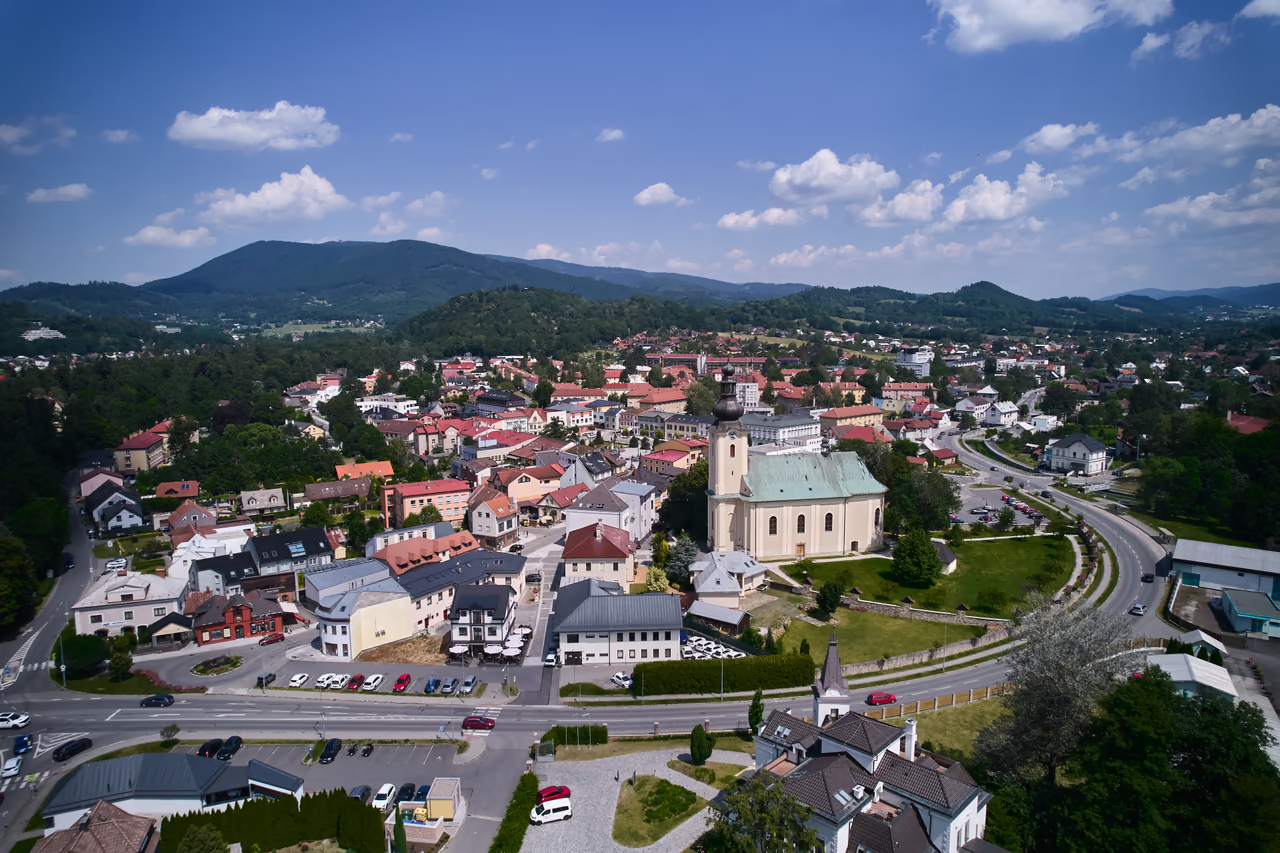 Rožnov pod Radhoštěmstart • 378 m a.s.l.Rožnov pod Radhoštěm is a transport hub - scheduled bus and train services meet here. There are supermarkets, cafés and restaurants as well. The information centre on Masaryk Square provides visitor information and travel tips.
red waymarks • 2.9 km • via Kramolišov
Rožnovský nultý kilometr starts by the bridge in Rožnov park. From there follow the red waymarks towards Hážovické Díly - across Masaryk Square and through the Kramolišov district, out of town up the Žáry valley. The meadows below Rysová are a nesting site of the corncrake; do not walk into the grass.
- Rysová - sedlo3 km from the start • 535 m a.s.l.