
A day on the Slovak side
The kopanice above Makov, a four-hundred-year-old elm in the village arms, the source of the river that named a whole region – and a border stone with Hungary, Moravia and Karlovice carved into it.
Through the kopanice to the source and up to the ridge
≈ 5 h
The places lie in Makov's scattered settlements, so there is driving between them – every time just a few minutes. The afternoon belongs to the border ridge.
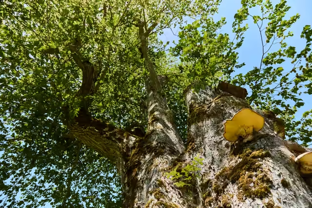
Brest u Papají
30 minAmong the most massive in central Europe • in Makov's arms
The elm grows by a cottage in the U Papají kopanice settlement; the village put it into its arms.
Drive to the Kršlisko settlement
10 min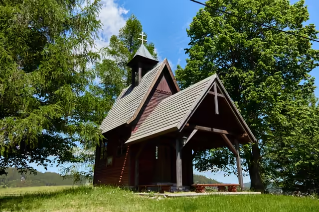
Chapel on Kršlisko
20 minA chapel with Cyril and Methodius decoration • ~1900
Drive up above the U Jaši settlement
15 min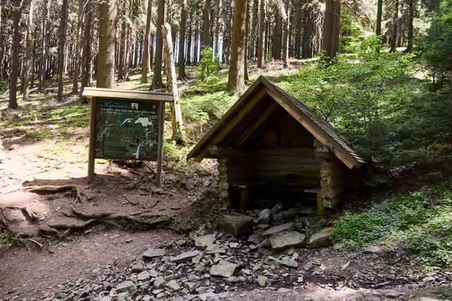
The source of the Kysuca
45 minThe river that gave a whole region its name • 65.6 km to the Váh
A nature trail of 2016 leads to the outflow under its shingled roof.
Lunch in Makov
1 hDrive to the Kasárne settlement
20 min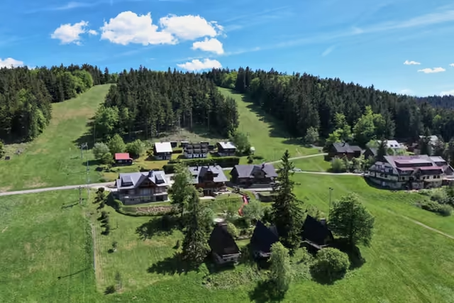
The Kasárne settlement
40 minA mountain settlement named after barracks of 1833
The red ridge route leads from the settlement to Veľký Javorník, the highest mountain of the range – count the climb in separately.
Drive to the Bumbálka saddle
20 min0,5 km · waymarks: red (E3)
A kilometre along the border cutting to the stone of 1906.
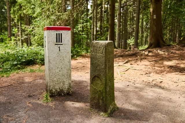
The Tripoint
20 minA boundary stone of 1906 on the summit of Trojačka