Why come here
Quiet and hafery
The summit is covered with bilberry scrub, with small boulders and rock outcrops rising through it. No waymarks lead here – it is a hill for someone who likes to work the route out for themselves.
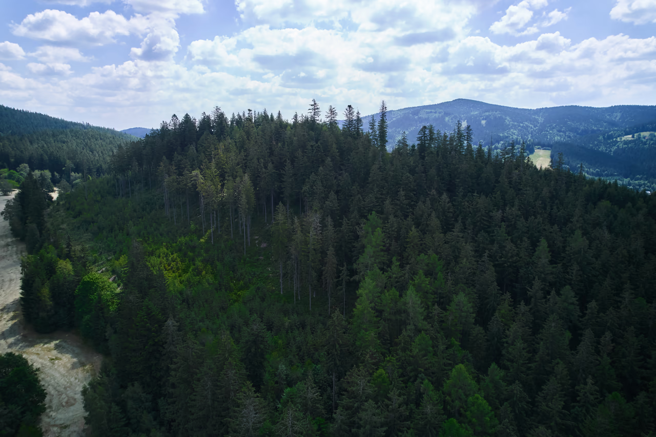
Summit • Horní Bečva • 781 m a.s.l.
A hill of bilberries that even the maps are unsure about.
Wooded Šorštýn rises above the Horní Bečva dam. Its summit is covered with bilberry scrub – hafery in the local word, which a local association and a summer festival in the village are named after. The sources do not agree on how to spell the name: the maps write Šorštýn, the municipality Šorstýn and Šarštýn – and the neighbouring spot height is called Šorstýnek, a diminutive, although it is higher. Its place on the map is uncertain as well: it lies on the boundary between two geomorphological units, and the sources disagree over whether the highest point of the Rožnovská brázda basin is Šorštýn or Poskla, two hundred metres lower.

Why come here
The summit is covered with bilberry scrub, with small boulders and rock outcrops rising through it. No waymarks lead here – it is a hill for someone who likes to work the route out for themselves.
When to come
It is mostly local people who come here, for the hafery. The wood usually blocks the view – it opens onto the slopes with their cottages only in a few places.
What to know
The red waymarked route runs round the hill from the dam to the Kladnatá saddle, and from it you turn off into open ground – no waymarks lead to the summit. The climb to the top and back takes roughly two hours.
The summit of Šorštýn is covered with bilberry scrub – at Horní Bečva bilberries are called hafery. According to the urbarium of 1676, gathering mushrooms, bilberries and raspberries was among the things the village's 1,385 inhabitants lived on.
The picking of hafery never stopped here. The hill's name is carried today by the Šorstýn association, which puts on the Haferobraní festival with the village, complete with bilberry dumplings and tastings.
No path leads up among the low shrubs. Small boulders and rock outcrops rise through the bilberry scrub, the wood blocks the view, and the southern slope is cleared by a ski slope.
Names and metres
The sources do not agree on how the name is written. The maps have Šorštýn, the geomorphological survey and the municipality Šorstýn, and in the municipal list of buildings the water main of 2001 even appears as Šarštýn. The neighbouring spot height half a kilometre to the east, meanwhile, is called Šorstýnek – a diminutive, even though it is a few metres higher (785 against 781 m).
The uncertainty does not end with the spelling. Šorštýn stands on the boundary between the Moravian-Silesian Beskids and the Rožnovská brázda – and the surveys disagree over what the highest point of the brázda, the depression between the mountains, actually is. One gives Šorštýn, others summits almost two hundred metres lower. And twelve kilometres away, at Bílá, there is another, quite different Šorštýn (711 m).
The best known is the Sach spring on the southern foot, right by road I/35 from Horní Bečva to Bumbálka, at 600 m a.s.l. This strong spring, which local people used to call Chladná voda, was made into a proper spring in 1929 during the building of the district road and named after Ing. Jaroslav Sach, then senior technical councillor of the district office at Nový Jičín.
The Sach spring is not the only one – more springs rise on the slopes of Šorštýn. Half a kilometre from it stands the Na Zubčené well, and further unnamed springs come up in the saddle between the two spot heights.
The hill also gives its name to the Šarštýn – Na Bučkové water main, which the municipality brought into service in November 2001 – though the agreement of the name with the springs described above is most likely a coincidence.
The local name for bilberries. They grow on the summit of Šorštýn, and the urbarium of 1676 already lists picking them among the village's livelihoods. The hill gives its name to the association that puts on the Haferobraní festival with the village.
The summit spot height is 781 m a.s.l. Neighbouring Šorstýnek, half a kilometre to the east, is a few metres higher still at 785 m – even though its name is a diminutive.
It depends on the source. Some surveys give it as such, others put the unit's highest point on Požiska (596 m) or on Poskla (576 m). Šorštýn stands on the edge of the brázda, where the Moravian-Silesian Beskids begin.
No. The red waymarks run round the hill from the Horní Bečva dam to the Kladnatá saddle, but you have to turn off into unwaymarked ground for the summit. The climb is one of the harder ones.
Otázka 1 z 5
 Rysík→
A few quizzes and I get glasses, and I will feel properly educated.
Your rank: Homebody. You do not have a single stamp yet. Visit any place and become a Pilgrim.
You can experience the Beskids and Moravian Wallachia with Rysík and without him. Rysík would love to be there for it. Whether you take him along and take on the challenges with him is up to you.
You can find your favourite places in your account. On the Walking routes page you can use them to filter routes.
Suggest a more accurate wording.