Makov

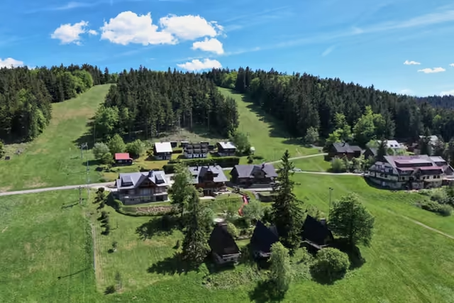
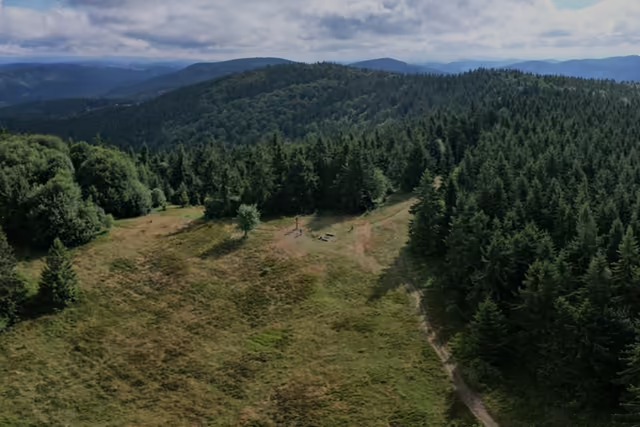
A village without a single green – put together from mountain settlements on the kopanice that joined up in 1895.

Altitude
633 m a.s.l.
Population
about 1,650
Places from this site in the village
7
Border
the Bumbálka crossing
The village's story

A village by the border that came out of seven villages joined together

1720–1895

The kopanice settlements that became a village

At the turn of the 17th and 18th centuries the settlement of Vysoká – Makov began to take shape in the mountains above the Kysuca valley; it is first recorded in 1720. Settlement went the kopanice way: a family cleared a piece of hillside, built a cottage on it and farmed around it. Scattered settlements grew up in this way.

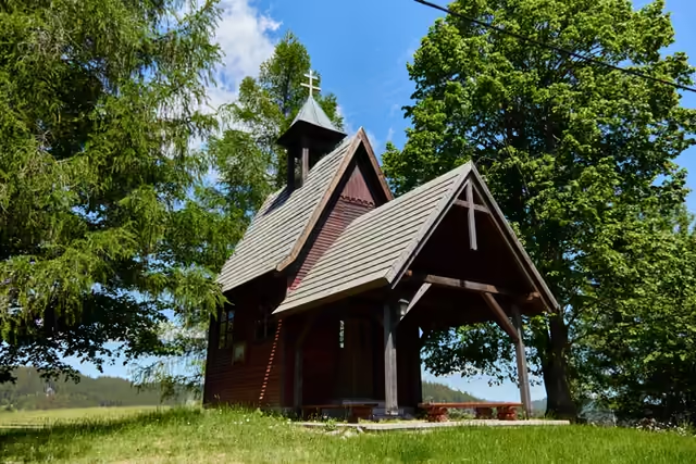
The village as we know it today is the result of an administrative decision: in 1895 Makov was established by joining parts of seven villages. It still consists of four territorial parts – Potok, Čierne, Kopanice and Trojačka – and of scattered mountain settlements such as the Greguše settlement with its bell tower.

According to the village chronicle the village takes its name from the makovec – the name given to the highest summit of the Kysuce territory that the settlers farmed on.

The Greguše settlement
A kopanice settlement above Makov. The Greguše settlement →

The border

Bumbálka: a line you can cross without stopping

The road up the valley leads to the Bumbálka saddle – the border crossing that links the village with the Czech side of the Beskids. The crossing as such ceased to exist when Slovakia joined the Schengen area in 2007.

The border then holds the main ridge of the Javorníky almost as far as Veľký Javorník – about half a kilometre short of the summit it turns away from it, so the highest mountain of the range stays wholly on the Slovak side.

Long before that the portáši patrolled here – border guards who walked the ridge. Their routes are still called the portáš paths. The Kasárne saddle recalls them, as does the page on the portáš graves on the Czech side.

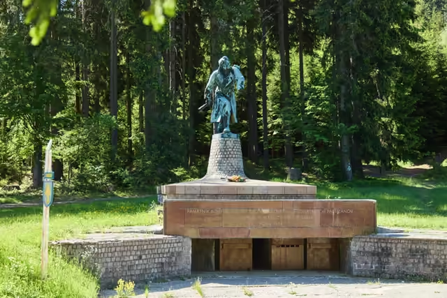
In September 1944 the 1st Czechoslovak Jan Žižka Partisan Brigade fought its way across the border here into Moravia – just under two kilometres from Bumbálka the Partisan memorial still recalls it.

The Kasárne settlement
The ridge above Makov, where the patrols went. The Kasárne settlement →

Water

The river that named the region begins here

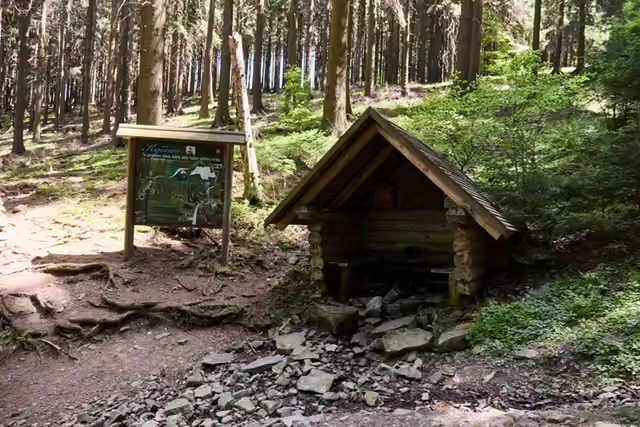
Above the U Jaši settlement, in the Hričovec nature reserve, the Kysuca rises – the river the whole region is named after.

Makov therefore lies on a watershed: a few kilometres away, on the other side of the ridge, the Bečva rises and heads the opposite way – into the Morava.

The source of the Kysuca
The outflow of the Kysuca under its shingled roof. The source of the Kysuca →